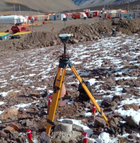
We offer topographic services that guarantee precise georeferentiation of all out projects. We employ advanced GPS and GNSS technologies, fundamental for planning and effective execution of any work. This method allows to georeference specific locations and obtain positional data such as height and coordinates. This compiled information is used to generate high precision maps, essential for several applications in geology, construction and other fields.
Engineering and Construction
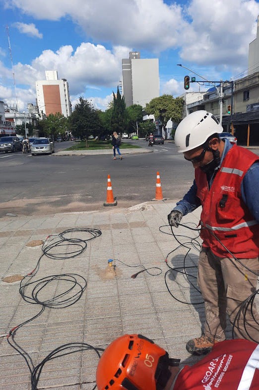
2D/3D Topographic Surveys, site layout, and construction control.
We capture every detail of the terrain using state-of-the-art equipment (RTK Total Station, drones). Our deliverables include contour maps, existing structures, underground networks, and key landscape features.
Land Registry and Property
Boundary marking and surface studies.
The Surveying Engineer plays a crucial role in land registry and property, ensuring proper identification, delineation, and registration of real estate assets for legal certainty and territorial planning.
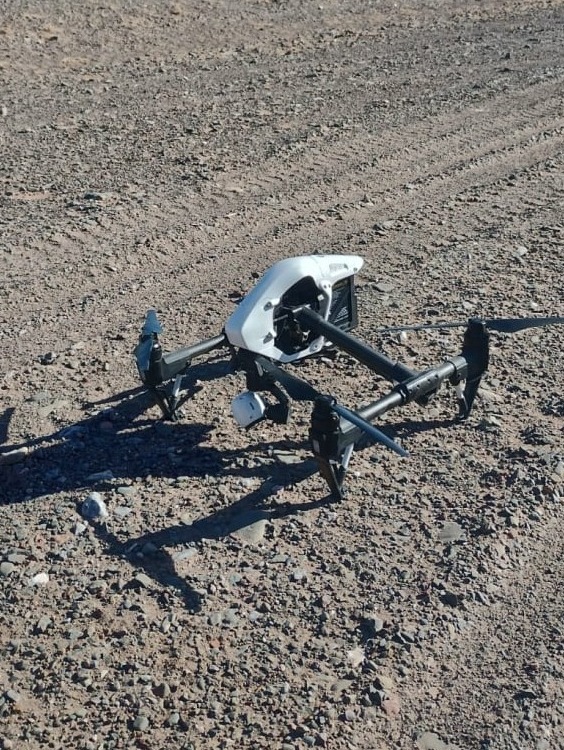
3D Modeling and Drones
Mapping large areas and generating detailed models.
We turn data into decision-making tools. Simulate earth movements, analyze drainage, or optimize designs with our interactive 3D models and precise volumetric calculations.
